
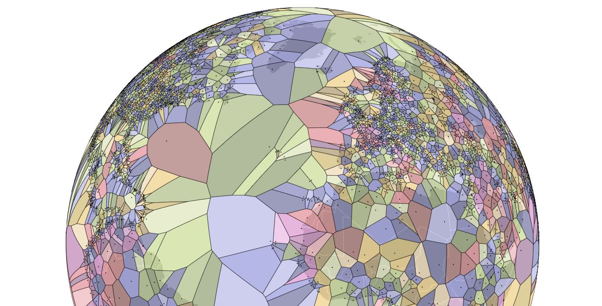
Jason Davies created a voronoi diagram of the world's airports projected onto an interactive 3D globe. Easter Island's airport claims the largest partition.
Most Remote Airport
Mataveri Airport at 27°S, 109°W is the most remote; 2,602km from the nearest airport, Totegegie Airport.
from Boing Boing https://ift.tt/2I2TLW6
via IFTTT
0 comments:
Post a Comment